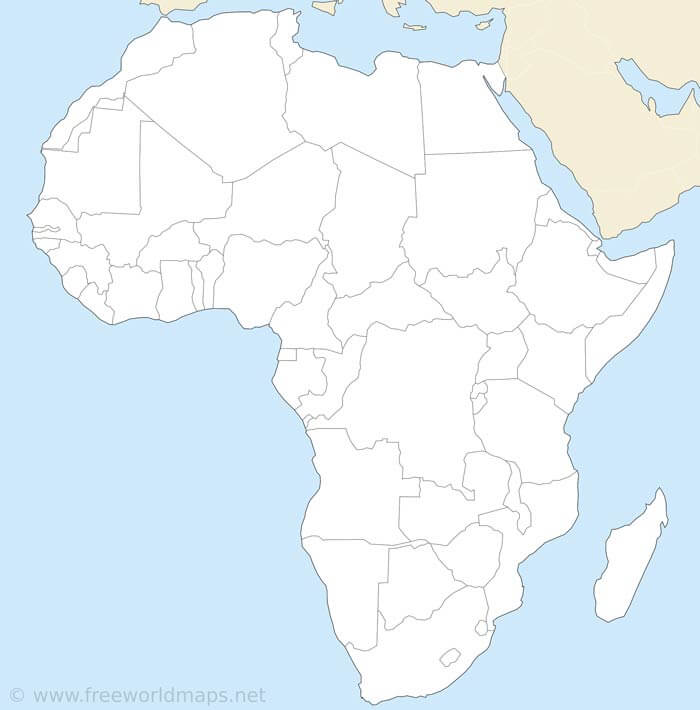

Political map of Africa Lambert Azimuthal Projection With countries, country labels, country borders.
Click on above map to view higher resolution image

 Africa printable outline map" />

Could not find what you're looking for? Need a customized Africa map? We can create the map for you!
Crop a region, add/remove features, change shape, different projections, adjust colors, even add your locations!


